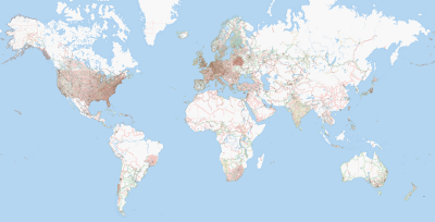
For some time now, I’ve been working on bits of OpenStreetMap. For those who don’t know, it’s like a fusion of Wikipedia and Google Maps, where all the of the map data is intended to be freely available (currently under a CC attribution sharealike license). I’ve decided to compile a list of links to the major bits that I’ve worked on.
- Anglesea (mapped over a few days on motorbike/foot)
- North Melbourne (lots of back alleys)
- Thornbury
- Lake Pedder impoundment
More minor bits that I have worked or am working on:

